Fremont brings together five historic townships: Centerville, Niles, Irvington, Warm Springs, and Mission San Jose. They joined in 1956 to form the city. Each survives today as a named historic district. Mission San Jose was founded as the 14th California mission. Niles was the earliest home of California's motion picture industry, where Charlie Chaplin filmed The Tramp.
Mission Peak Regional Preserve rises to the east, with trails that look out over the southern arm of San Francisco Bay. Central Park's lake and loop trail sit at the heart of the city. Coyote Hills Regional Park protects marshland and grassy hills along the bay shore. Two BART stations, Fremont and Warm Springs/South Fremont, connect residents across the Bay Area. Interstates 680 and 880 also run through the city. Fremont Unified School District serves students in the City of Fremont.
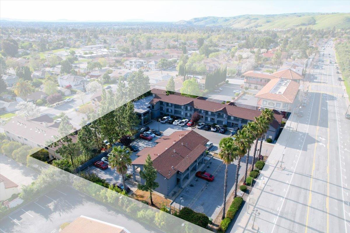
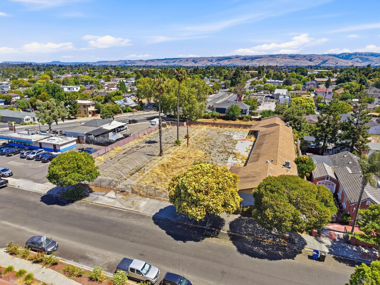
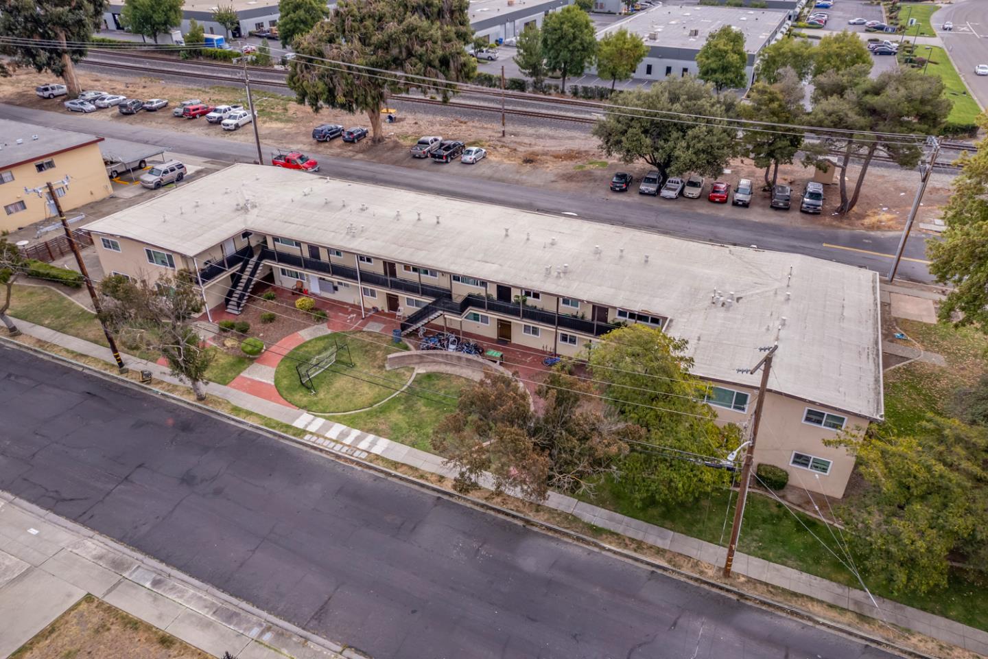
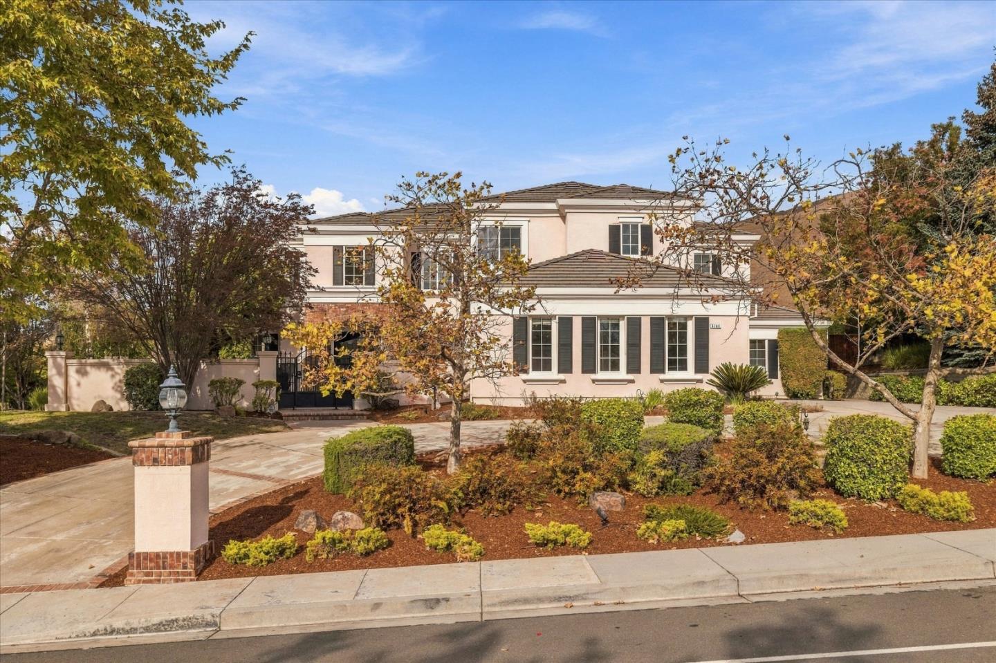
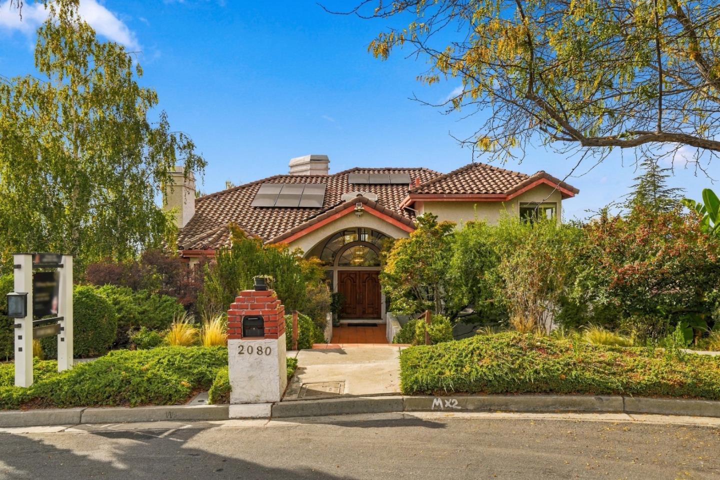
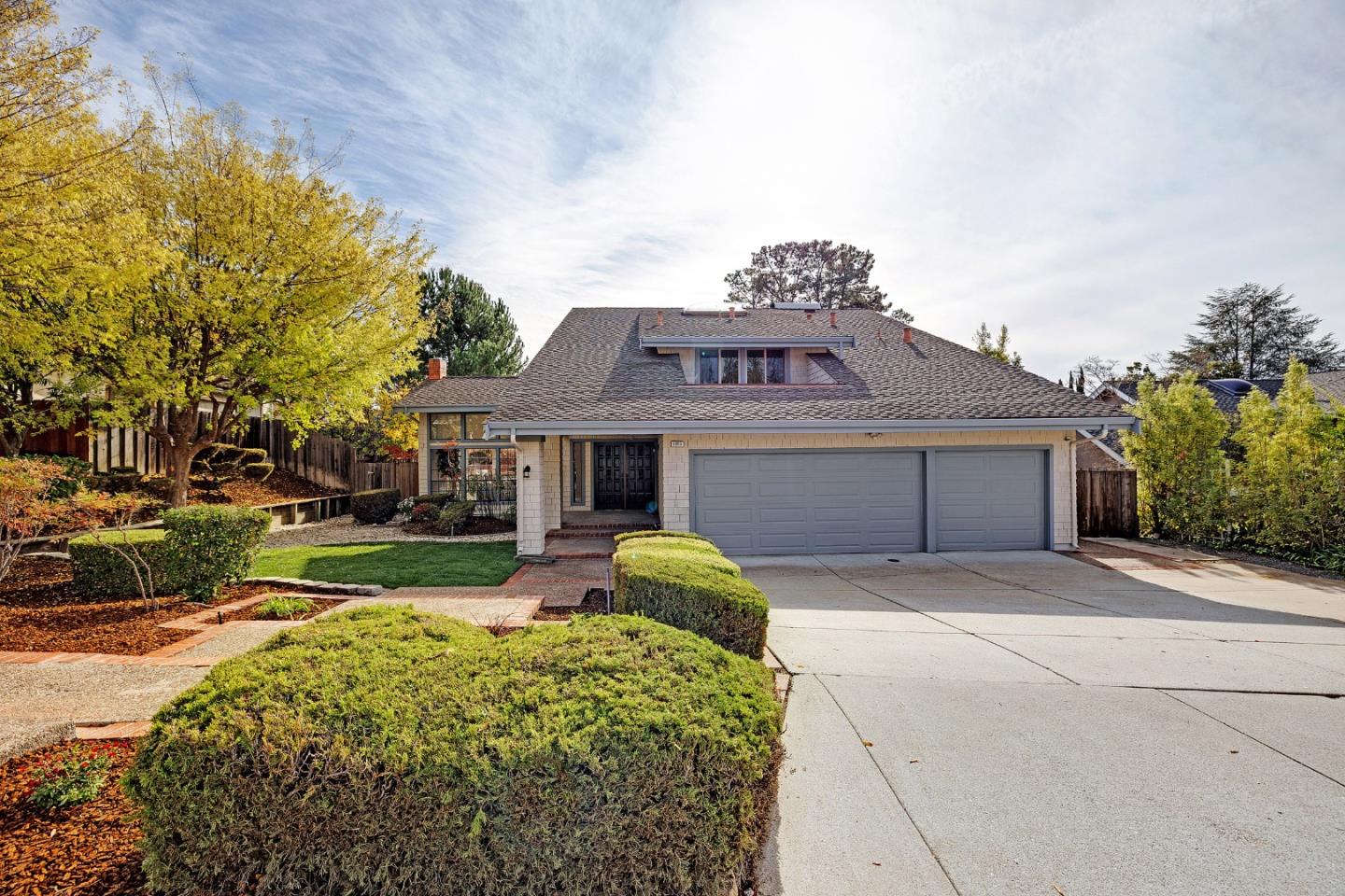
Fremont's neighborhoods are made up mostly of single-family homes, many of them single-story. The largest share was built between 1960 and 1979. Attached homes and apartments add more options.
Thinking about buying or selling in Fremont? My team and I would love to help.
228,295 people live in Fremont, where the median age is 39.1 and the average individual income is $77,049. Data provided by the U.S. Census Bureau.
Total Population
Median Age
Population Density Population Density This is the number of people per square mile in a neighborhood.
Average individual Income
There's plenty to do around Fremont, including shopping, dining, nightlife, parks, and more. Data provided by Walk Score and Yelp.
Explore popular things to do in the area, including Kuchipudi Natyam.
Fremont has 78,054 households, with an average household size of 2.9. Data provided by the U.S. Census Bureau. Here’s what the people living in Fremont do for work — and how long it takes them to get there. Data provided by the U.S. Census Bureau. 228,295 people call Fremont home. The population density is 2,923 and the largest age group is Data provided by the U.S. Census Bureau.
Total Population
Population Density Population Density This is the number of people per square mile in a neighborhood.
Median Age
Men vs Women
Population by Age Group
0-9 Years
10-17 Years
18-24 Years
25-64 Years
65-74 Years
75+ Years
Education Level
Total Households
Average Household Size
Average individual Income
Households with Children
With Children:
Without Children:
Marital Status
Blue vs White Collar Workers
Blue Collar:
White Collar: