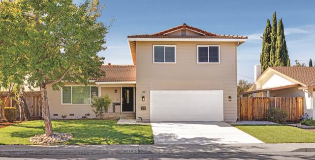
Known as the Crossroads of Silicon Valley, Milpitas sits at the southern end of San Francisco Bay between San Jose and Fremont. Interstates 680 and 880 run through the city, along with State Route 237. The Milpitas Transit Center brings BART, VTA light rail, and bus service together in one place.
The city is predominantly residential, with neighborhoods set between major arterials and along winding roadways. Ed R. Levin County Park offers Sandy Wool Lake, a hang-gliding launch area, and the Spring Valley Golf Course. The city's name comes from milpa, meaning little cornfields. Milpitas was incorporated in 1954. Milpitas Unified School District serves students who live within the city.
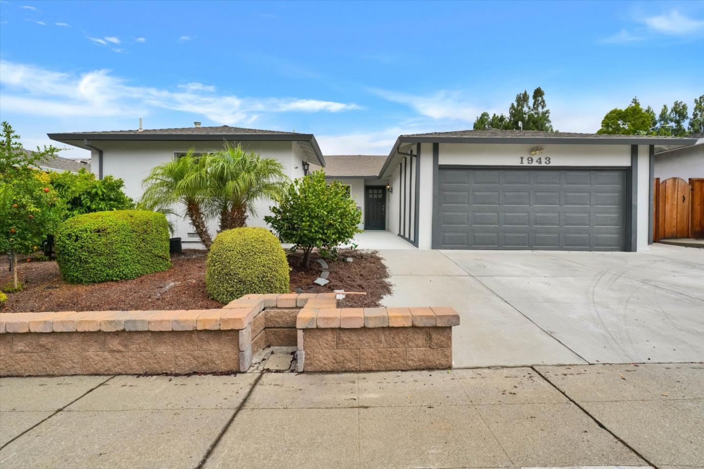
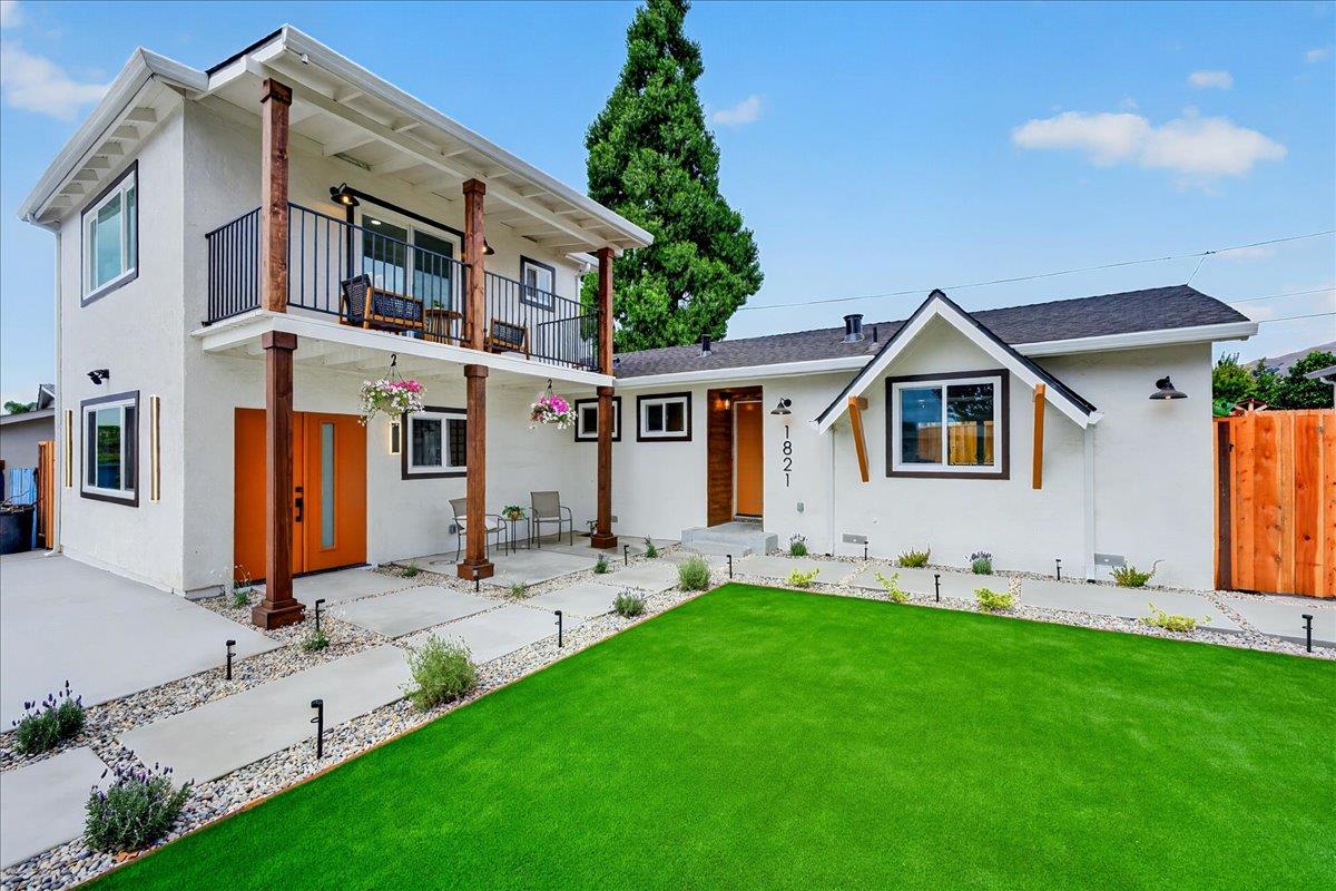
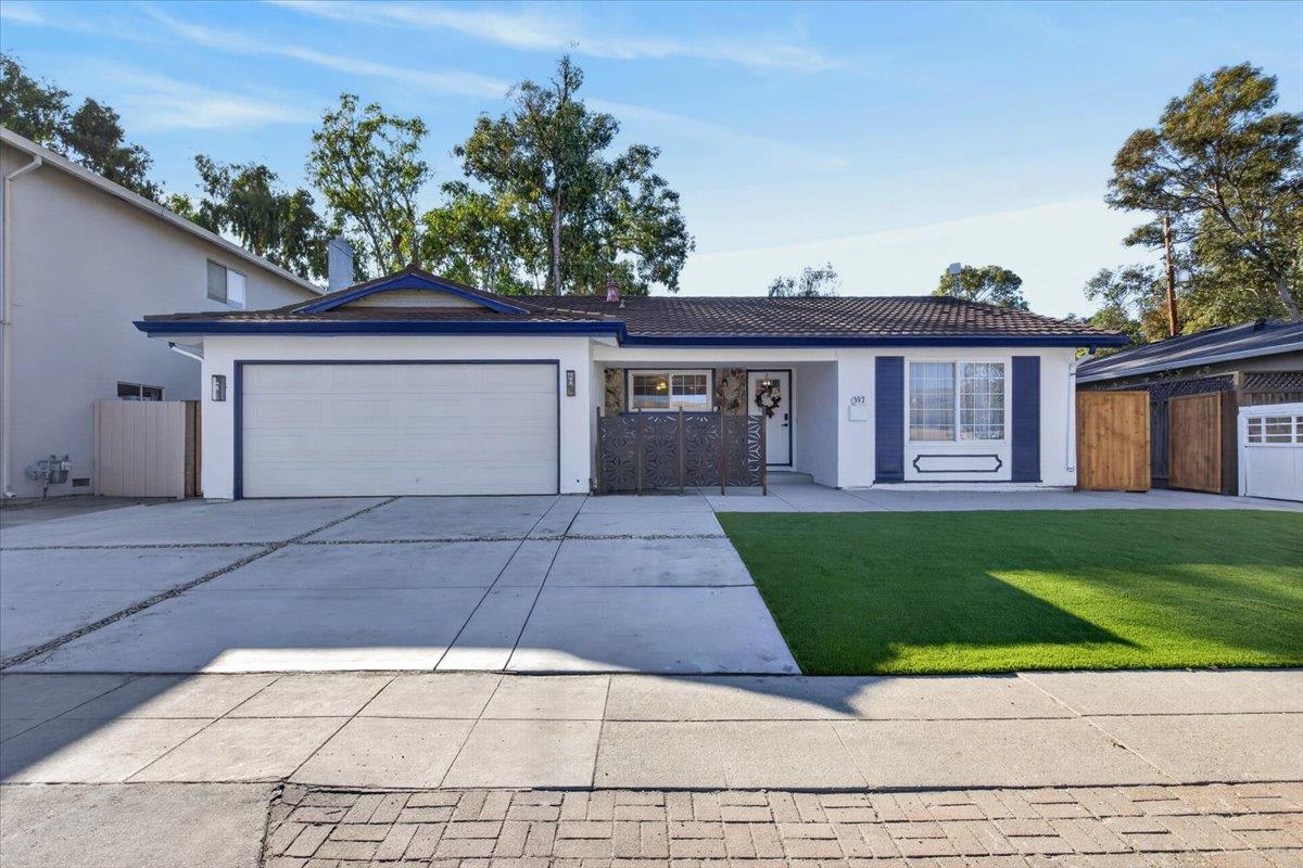
Most Milpitas homes are single-family, built largely between 1960 and 1999. Voter-approved measures keep development on the valley floor and the base of the foothills.
Thinking about buying or selling in Milpitas? My team and I would love to help.
78,578 people live in Milpitas, where the median age is 36.8 and the average individual income is $69,335. Data provided by the U.S. Census Bureau.
Total Population
Median Age
Population Density Population Density This is the number of people per square mile in a neighborhood.
Average individual Income
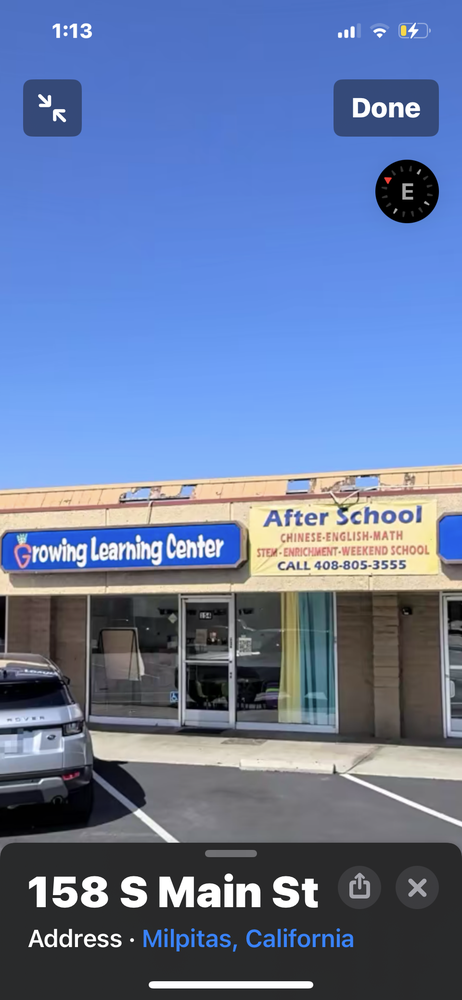
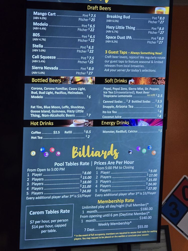
There's plenty to do around Milpitas, including shopping, dining, nightlife, parks, and more. Data provided by Walk Score and Yelp.
Explore popular things to do in the area, including Tu Padre , Trichy Cafe, and Mumbai Indians.
| Name | Category | Distance | Reviews |
Ratings by
Yelp
|
|---|---|---|---|---|
| Dining | 0.02 miles | 24 reviews | 5/5 stars | |
| Dining | 0.02 miles | 6 reviews | 2.8/5 stars | |
| Dining | 0.02 miles | 0 reviews | 0/5 stars | |
| Dining | 0.34 miles | 0 reviews | 0/5 stars | |
| Dining | 0.42 miles | 0 reviews | 0/5 stars | |
| Dining | 0.42 miles | 0 reviews | 0/5 stars | |
| Dining | 0.86 miles | 1 review | 1/5 stars | |
| Dining | 0.95 miles | 1 review | 2/5 stars | |
| Dining | 1.05 miles | 0 reviews | 0/5 stars | |
| Shopping | 0.33 miles | 1 review | 3/5 stars | |
| Shopping | 0.93 miles | 1 review | 3/5 stars | |
| Shopping | 1.06 miles | 1 review | 5/5 stars | |
| Active | 0.02 miles | 2 reviews | 5/5 stars | |
| Active | 0.02 miles | 0 reviews | 0/5 stars | |
| Active | 0.42 miles | 0 reviews | 0/5 stars | |
| Active | 0.82 miles | 2 reviews | 5/5 stars | |
| Active | 0.88 miles | 1 review | 5/5 stars | |
| Active | 0.91 miles | 6 reviews | 5/5 stars | |
| Active | 1.08 miles | 0 reviews | 0/5 stars | |
| Nightlife | 0.49 miles | 50 reviews | 3.9/5 stars | |
| Beauty | 0.02 miles | 4 reviews | 5/5 stars | |
| Beauty | 0.42 miles | 0 reviews | 0/5 stars | |
| Beauty | 0.57 miles | 375 reviews | 4/5 stars | |
| Beauty | 1.06 miles | 11 reviews | 5/5 stars | |
|
|
||||
|
|
||||
|
|
||||
|
|
||||
|
|
||||
|
|
Milpitas has 25,066 households, with an average household size of 3.06. Data provided by the U.S. Census Bureau. Here’s what the people living in Milpitas do for work — and how long it takes them to get there. Data provided by the U.S. Census Bureau. 78,578 people call Milpitas home. The population density is 5,829 and the largest age group is Data provided by the U.S. Census Bureau.
Total Population
Population Density Population Density This is the number of people per square mile in a neighborhood.
Median Age
Men vs Women
Population by Age Group
0-9 Years
10-17 Years
18-24 Years
25-64 Years
65-74 Years
75+ Years
Education Level
Total Households
Average Household Size
Average individual Income
Households with Children
With Children:
Without Children:
Marital Status
Blue vs White Collar Workers
Blue Collar:
White Collar: